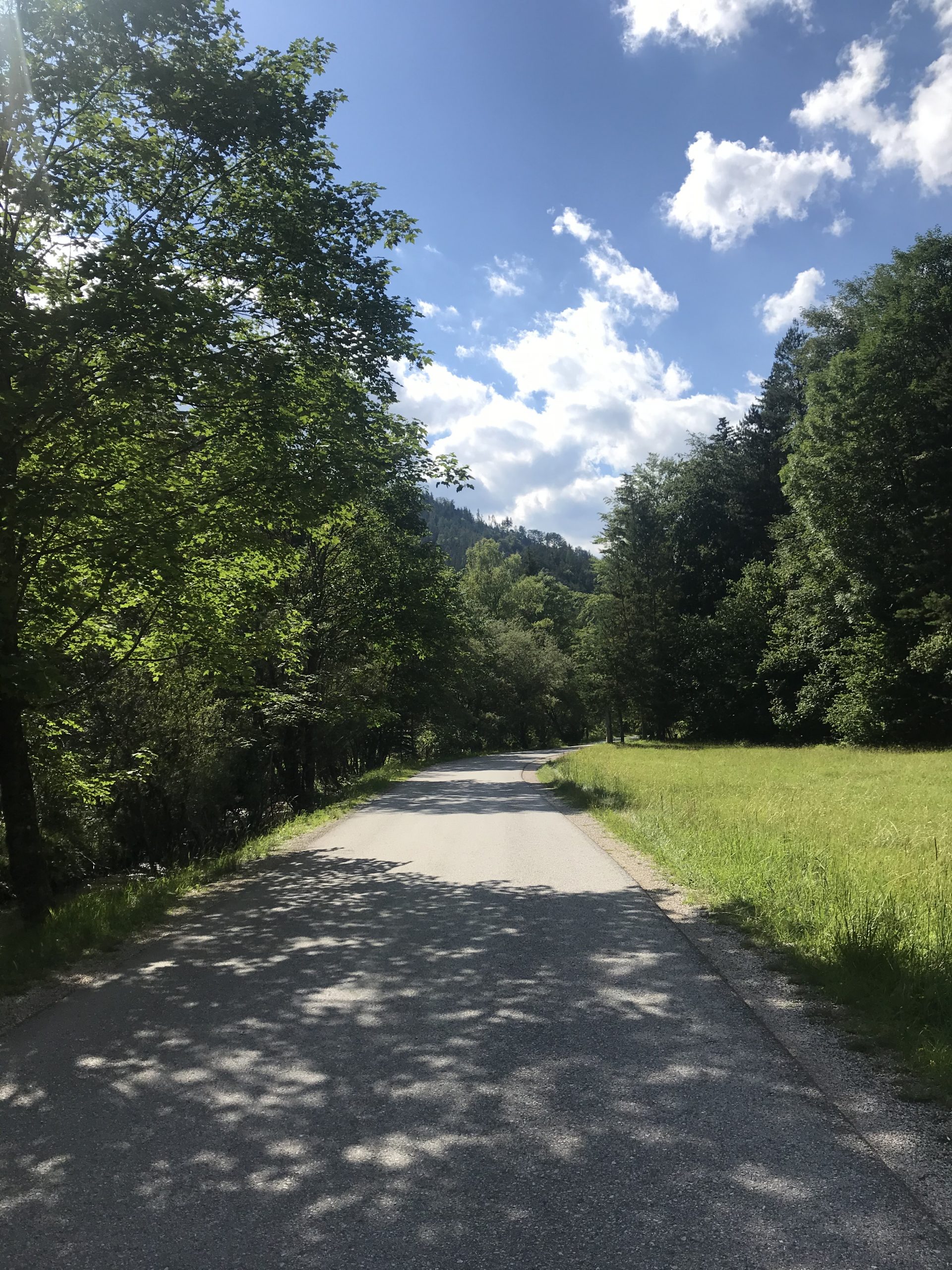
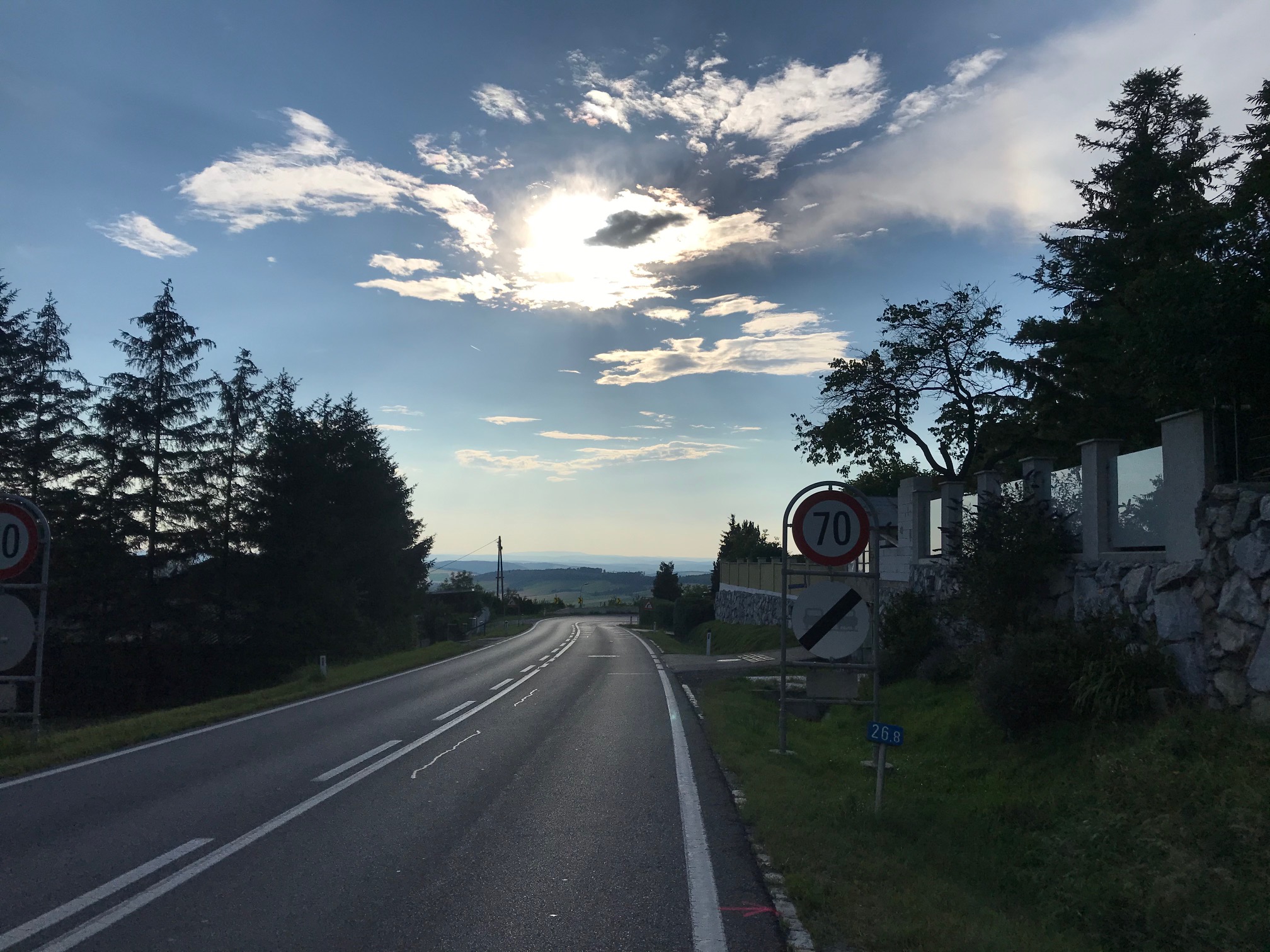
The Heart(attack) Lap
![]() 74 km
74 km ![]() 3h
3h ![]() 305 hm
305 hm ![]() 8,7% max. gradient
8,7% max. gradient ![]() 266 m highest point
266 m highest point
This is the perfect route for a mid-distance trip on a day without too much wind since some sections are quite exposed.
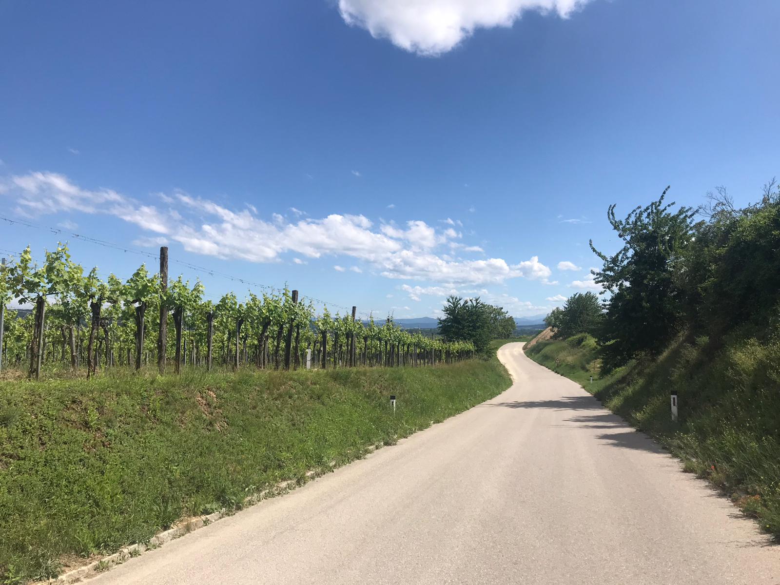
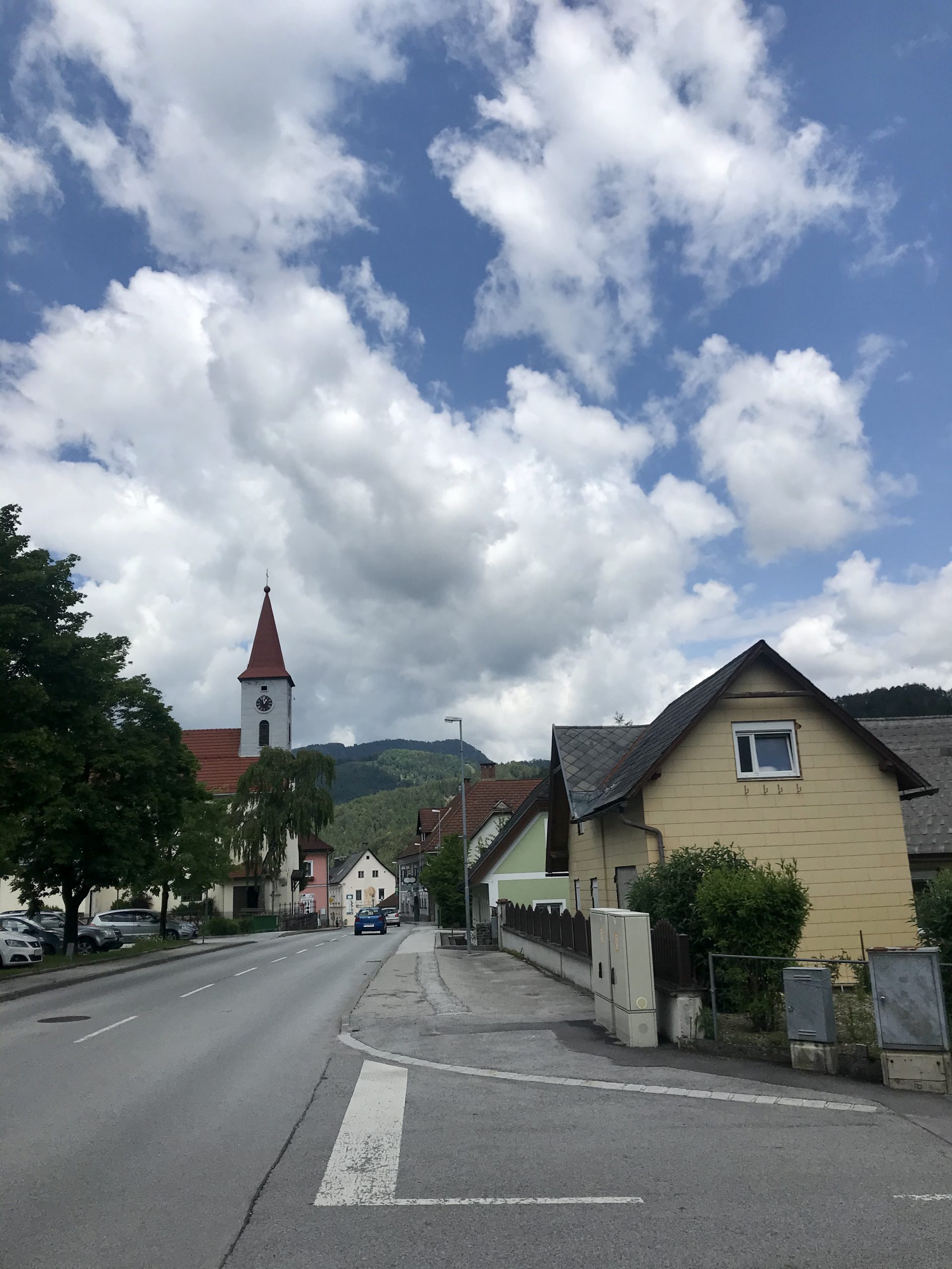
We start our ride in the city center and follow the Ringstrasse to the Donau Kanal. Here we take the bike path North for about 4 km and cross the bridge to Donauinsel. At the northern end of Donauinsel we turn our back to the water and head through Langenzersdorf and Bisamberg where we experience cobblestones a la Paris Roubaix (but hopefully no flat tires). Follow the road in direction Großrussbach. So far, we have traveled through flat terrain but that is about to change.
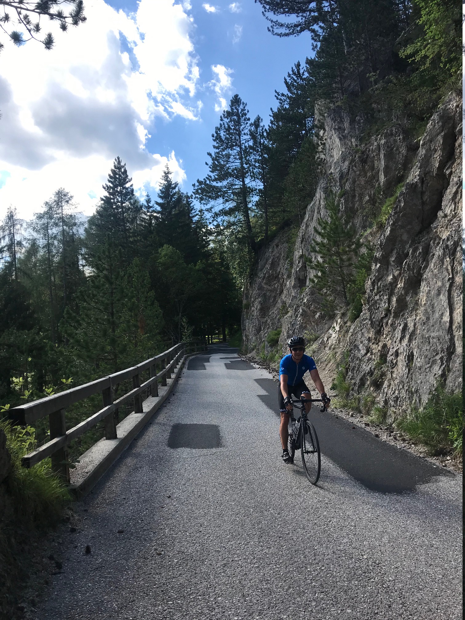
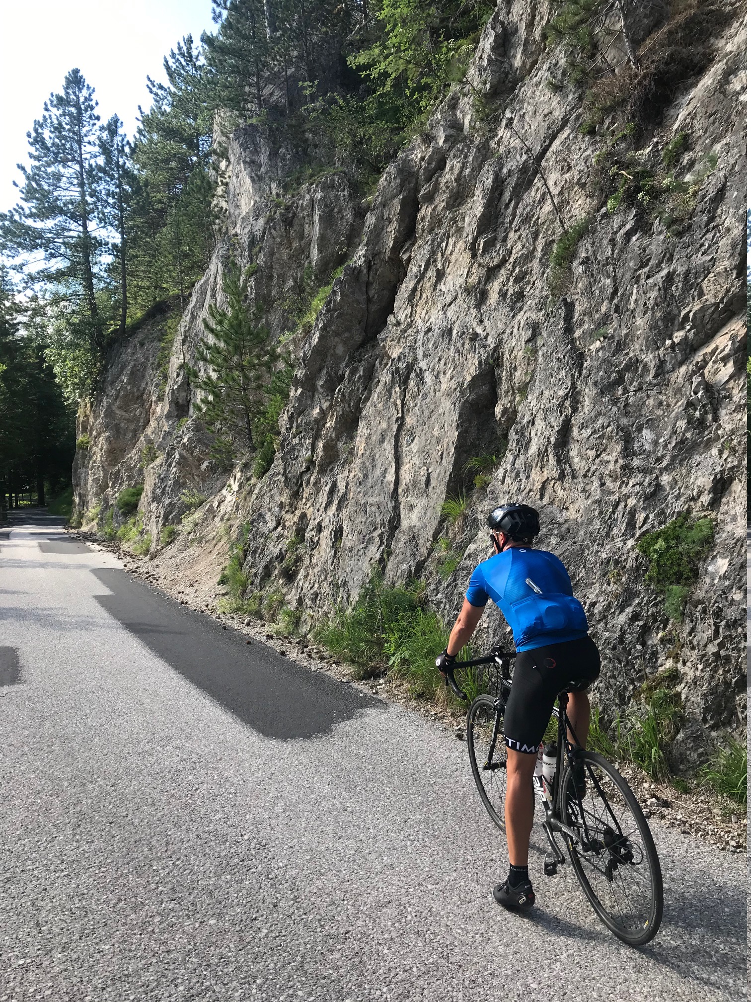
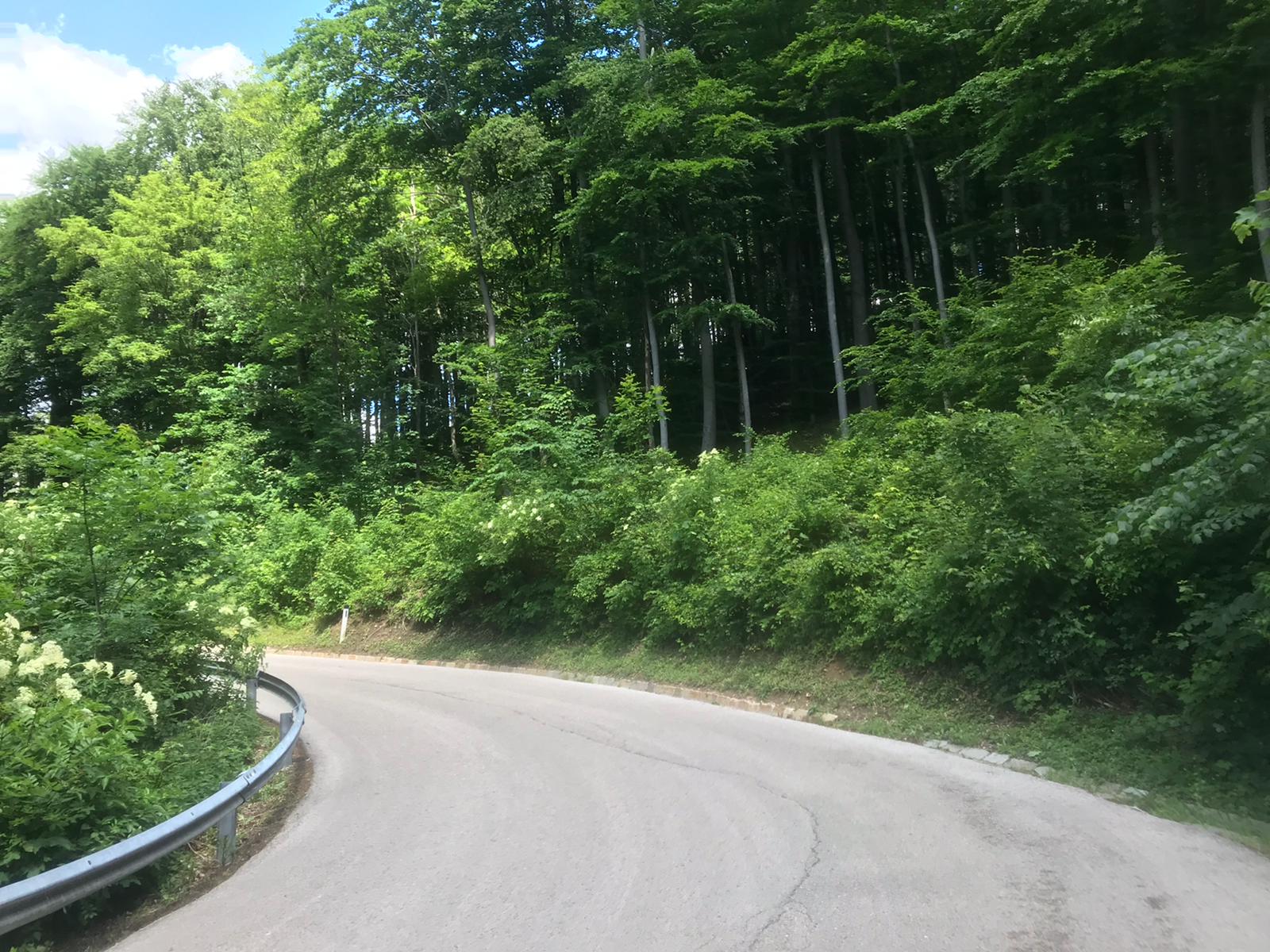
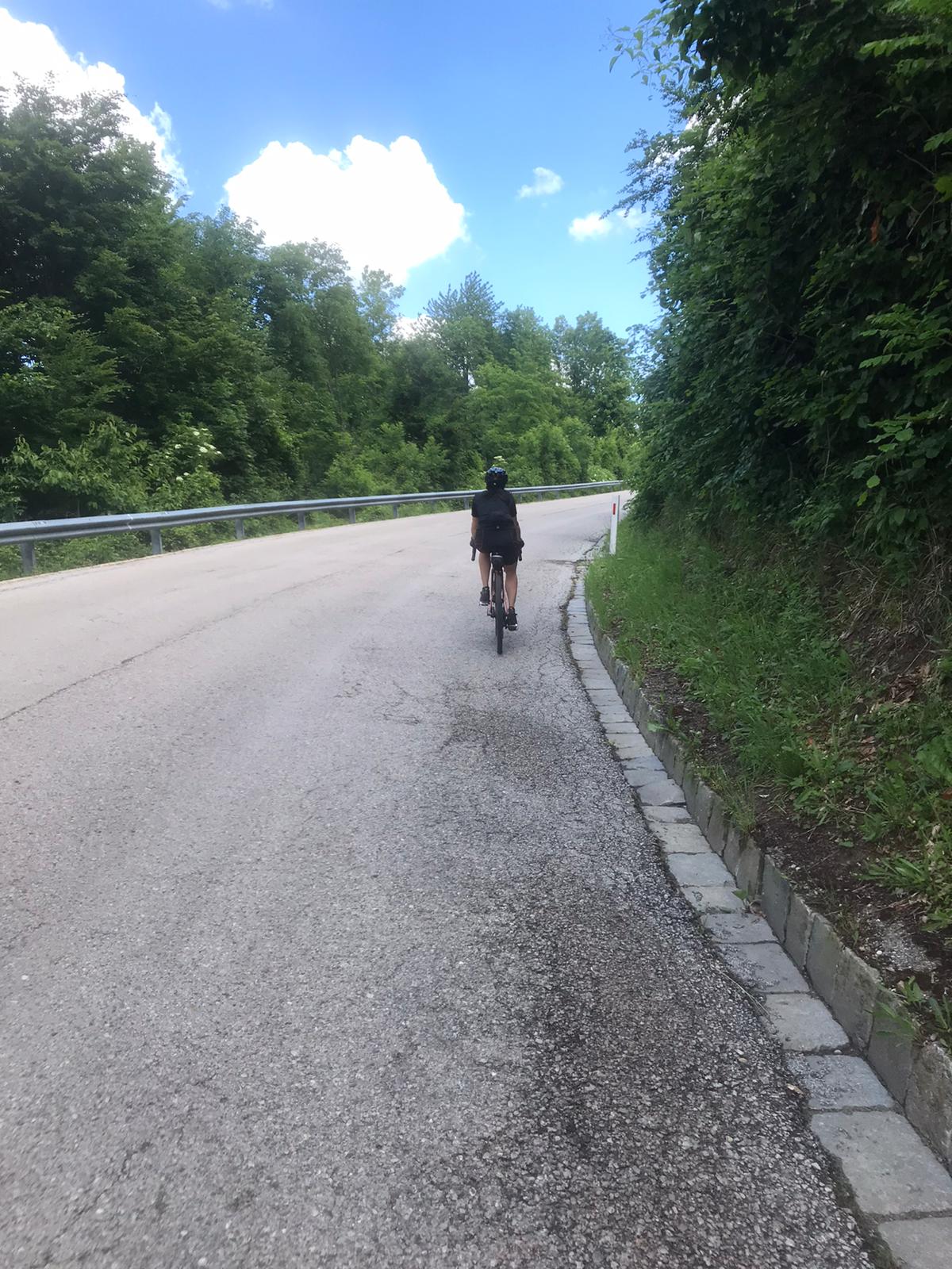
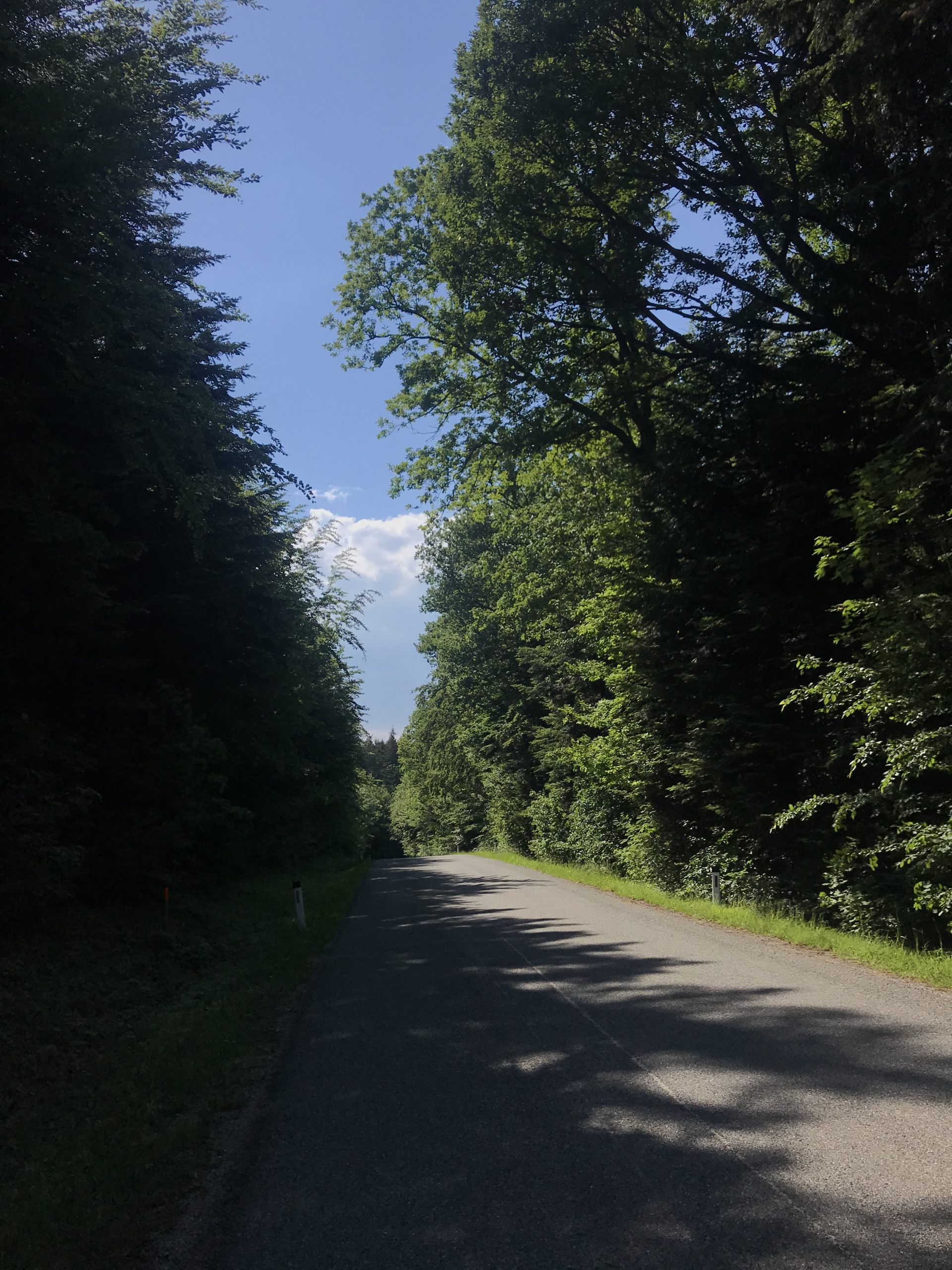
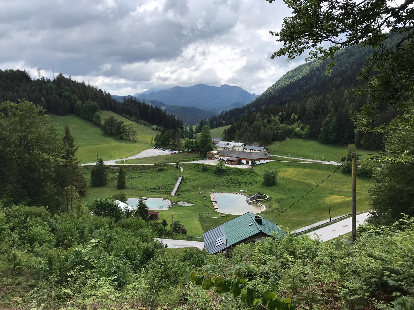
We take the turn towards “Goldenes Bründl” – a popular restaurant. But before we reach the Bründl we must conquer a couple of hills, some of them located in the shade of the forest. Here you can sometimes ride for a half an hour without encountering a single human soul but sighting the occasional rabbit, deer, or fox.
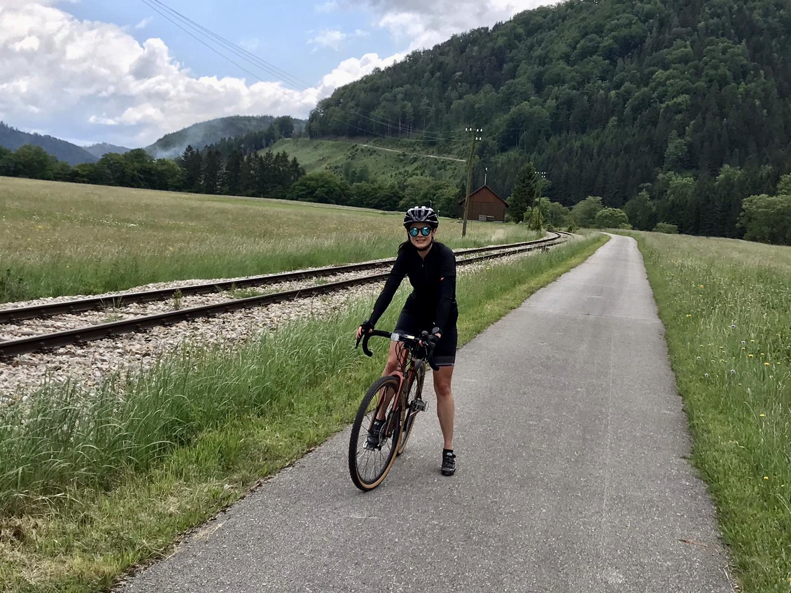
A few kilometers after the Bründl, we reach Stockerau and take the bike path to Greifenstein. We take the dam across the Danube and follow the flat path along the riverbank towards home. For those of you who still have it in them: Last chance to hammer down before we reach the city and its traffic.

![]() CULINARY TIP
CULINARY TIP
The Goldenes Bründl is quite fancy but sitting in the garden area in sports gear should not be a problem: https://www.goldenesbruendl.at/
![]()
CULINARY TIP
The Goldenes Bründl is quite fancy but sitting in the garden area in sports gear should not be a problem: https://www.goldenesbruendl.at/
The Spicy Monastery Ride
![]() 120 km
120 km ![]() 5h
5h ![]() 930 hm
930 hm ![]() 15% max. gradient
15% max. gradient ![]() 386 m highest point
386 m highest point
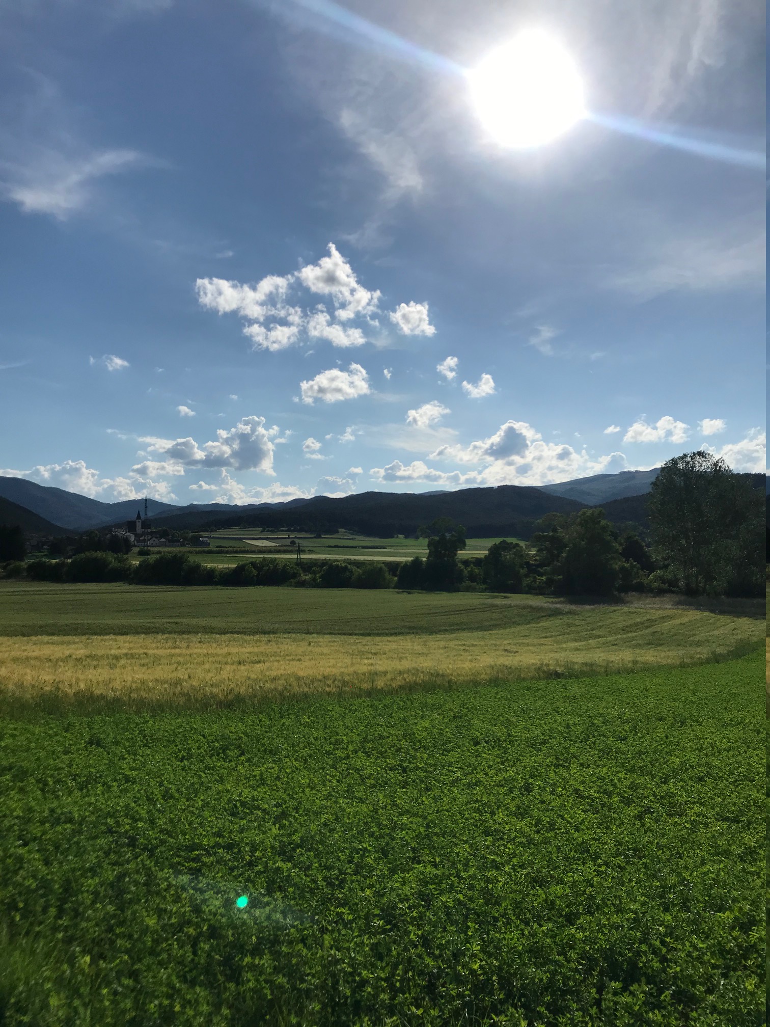
This route is a nice combination of a few climbs in the first and middle sections and a flat part leading through the picturesque landscape of the Wachau valley.
We leave the city through the Wienfluss bike path and direct ourselves towards Mauerbach where we take a left and eventually reach Tulbinger Forest. Here the first test for our legs awaits us, but the steep section is just about 1 kilometer long.
In Gablitz we turn right where the Riederberg climb starts. The curvy decent that follows is a reward for our hard work. The local roads lead us past Traismauer, Getzersdorf and Nussdorf with some amazing views of the surrounding vineyards. But don’t underestimate this part of the journey, there are some tough uphill sections waiting for you, but rarely more than a few meters long. We recommend taking a short break in Krems and continue your trip on the Donauradweg towards Melk. This part includes some wonderful views of the river, the adjacent vineyards, castles, and old villages.
If you still have the punch in your legs, you can gather a few extra vertical meters on the climb to Ruine Aggstein. But attention: the gradient has up to 24%.
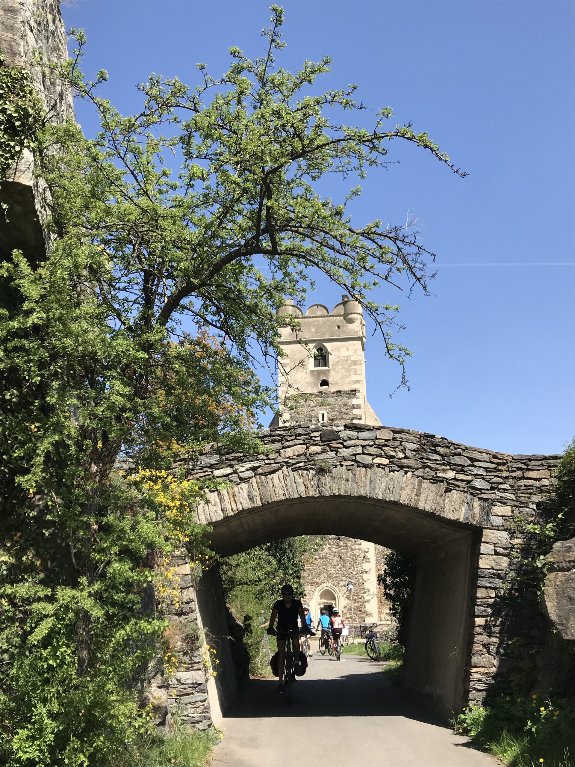
We finally reach our end destination Melk and its famous abbey which some call “the most magnificent building in the world“ (slightly exaggerated though it indeed is very impressive). Since we have successfully completed our mission we may finally enjoy a glass of wine at one of the excellent old town restaurants.

![]() CULINARY TIP
CULINARY TIP
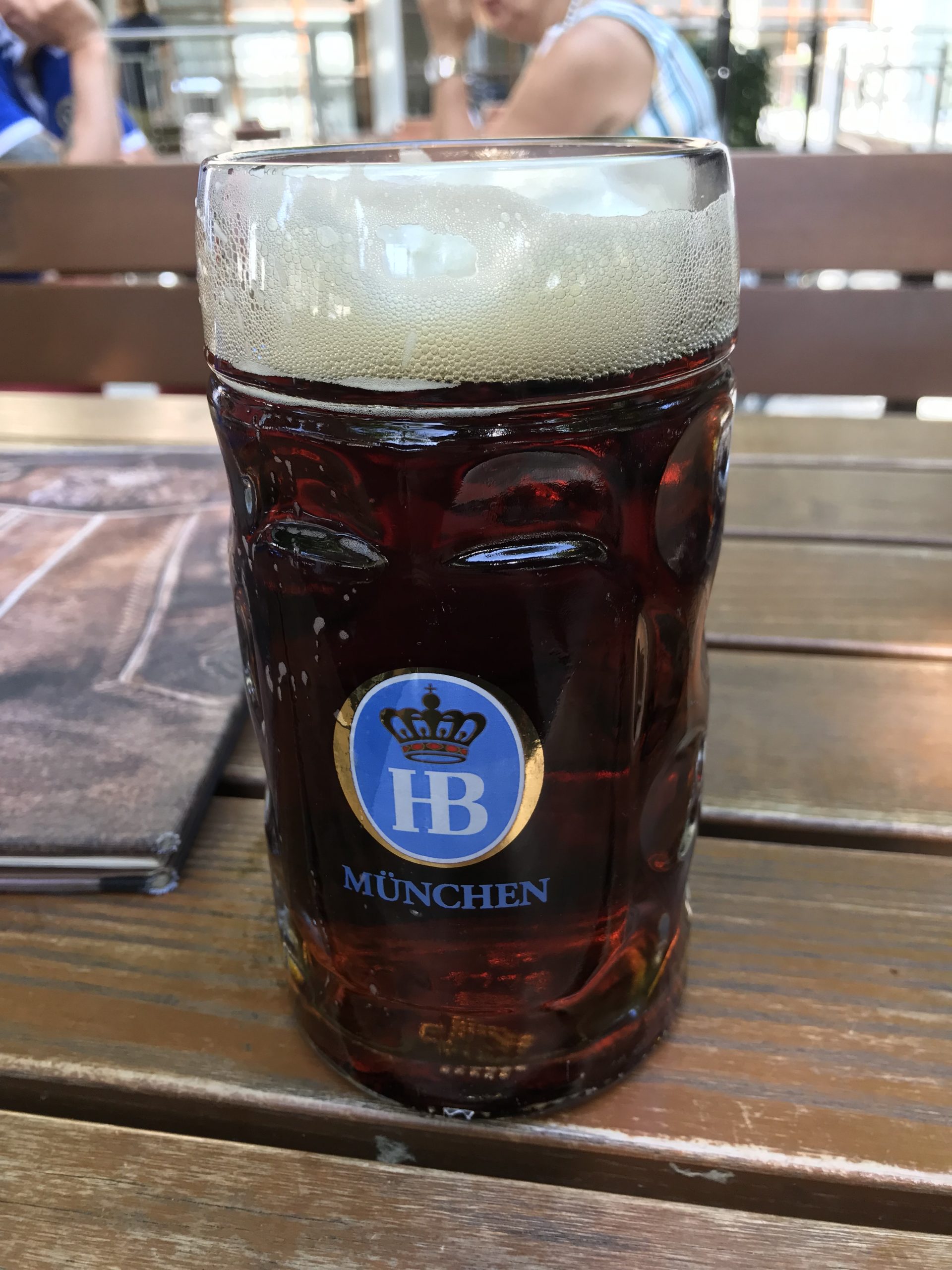
Try the Hofbräu am Steinertor located right in the center of Krems at Südtirolerpl. 2. Enjoy local specialties along with beer brewed on site in the ambiance of its shady garden: https://www.hofbraeu-am-steinertor.at/
![]()
CULINARY TIP
Try the Hofbräu am Steinertor located right in the center of Krems at Südtirolerpl. 2. Enjoy local specialties along with beer brewed on site in the ambiance of its shady garden: https://www.hofbraeu-am-steinertor.at/


The Small But Beautiful Wienerwald Loop
![]() 50 km
50 km ![]() 2h
2h ![]() 450 hm
450 hm ![]() 9,3% max. gradient
9,3% max. gradient ![]() 492 m highest point
492 m highest point
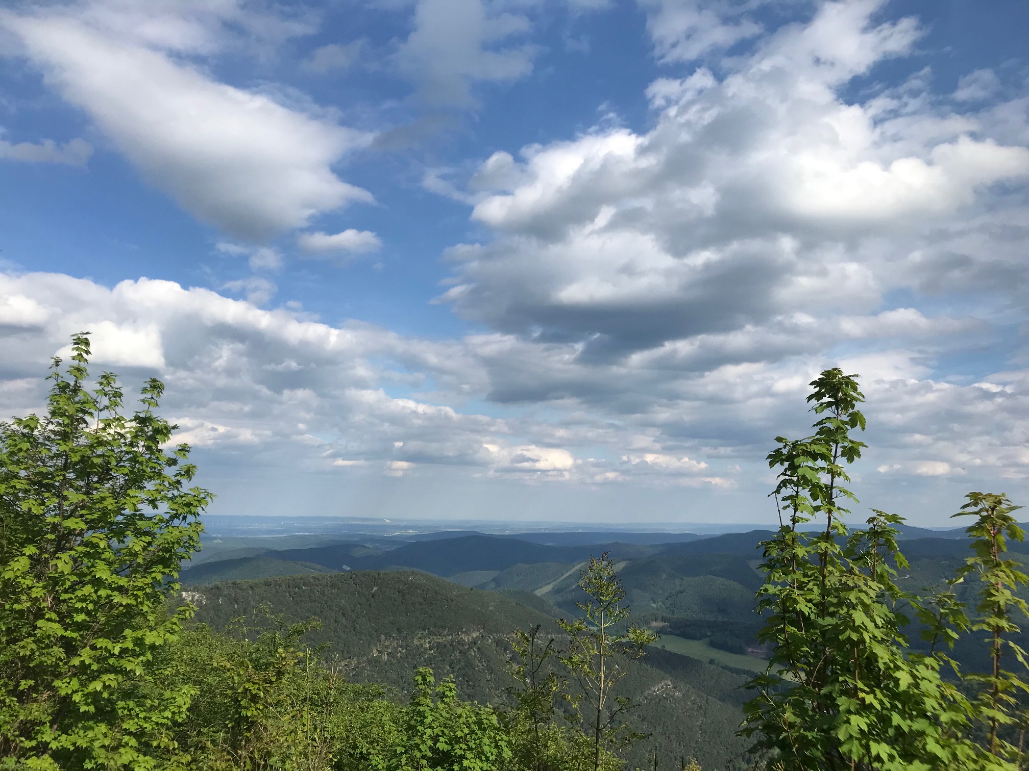
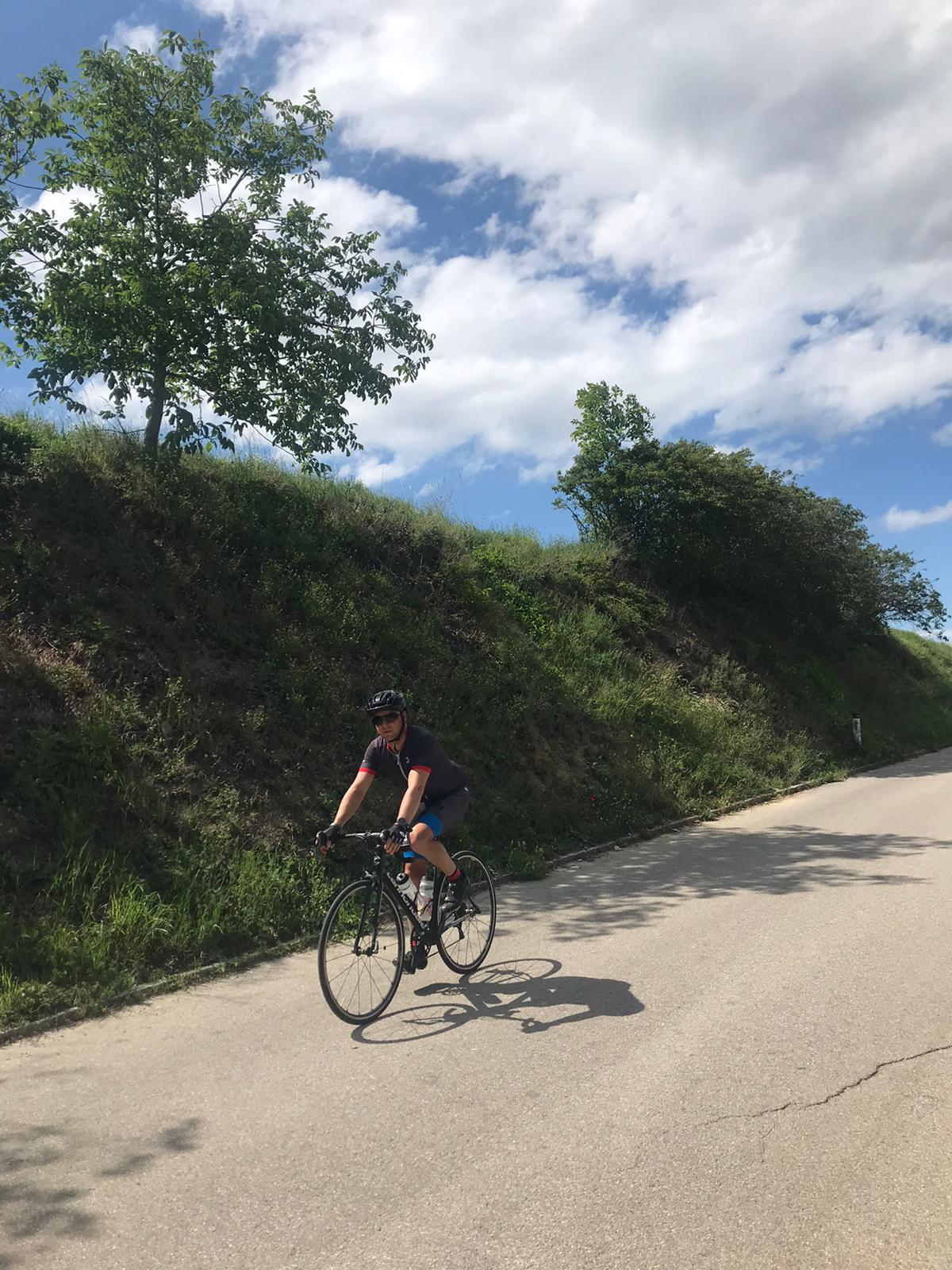
Traditionally we start this tour at MH76 Studio on Mariahilfer Strasse 76 and follow the route clockwise. We leave the city heading west, using the bike path alongside the Wienfluss. From Hadersdorf we take the Mauerbachstrasse to the crossing of Sophienalpenstrasse, where the one and only bigger climb of the day has its origin. Here the real adventure begins in the beautiful Wienerwald. There is hardly any traffic and so nothing keeps you from fully enjoying nature. In the beginning the ascent is fairly easy followed by a more challenging middle portion that has some serpentines. As you approach the top the road flattens. During this whole time the trees lend protection from sun and wind.
After the summit follow 3 kilometers of many ups and downs before we throw ourselves downhill through the Weidlingbachtal. Soon we reach Klosterneuburg, turn south east and follow first the Donauradweg and then the Donaukanal all the way to the Vienna City Center. The last kilometers lead us along the Ringstrasse until we finally reach our starting point at Mariahilfer Strasse.

![]()
CULINARY TIP
On Hauptstrasse 190 in Weidling there is a cozy Heuriger “Unser Weidlinger” (https://www.unserweidlinger.at/) with a nice garden and tasty food and drinks.
![]() CULINARY TIP
CULINARY TIP
On Hauptstrasse 190 in Weidling there is a cozy Heuriger “Unser Weidlinger” (https://www.unserweidlinger.at/) with a nice garden and tasty food and drinks.
Up and Down with Nature All Around
![]() 145 km
145 km ![]() 6h
6h ![]() 1300 hm
1300 hm ![]() 13,8% max. gradient
13,8% max. gradient ![]() 859 m highest point
859 m highest point
Today we begin our tour in Payerbach near the Rax, which is a famous starting point for many hiking trails. A direct train departs from Vienna every hour and it takes around 1:40 minutes until you reach the destination. Due to this relatively long travel time we recommend an early start. Make sure to pack some warm clothes as our starting point has an altitude of 483m and often is quite a bit colder than the weather in Vienna.
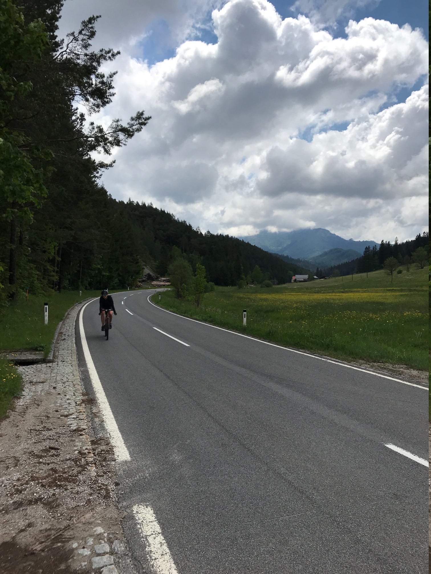
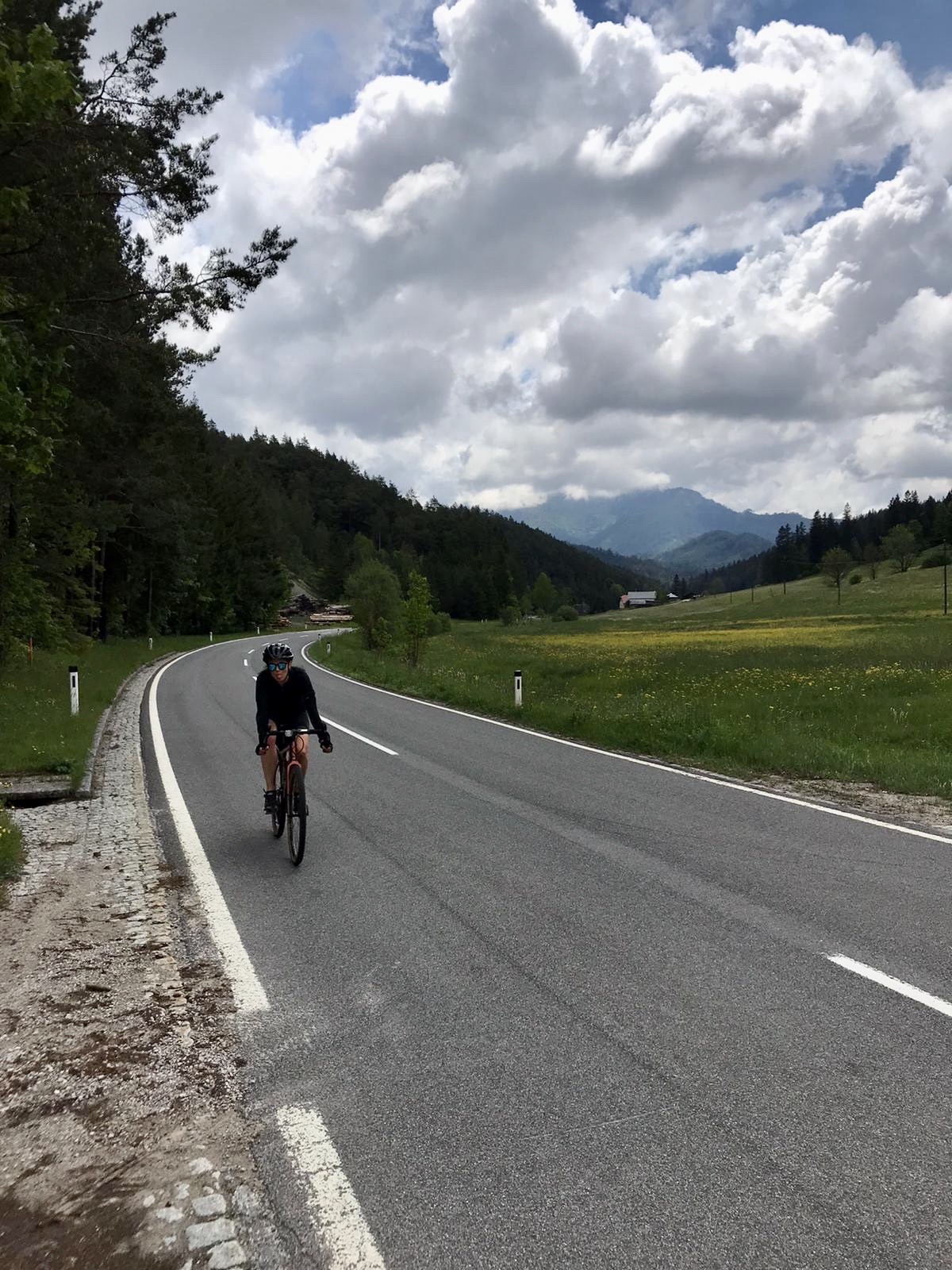
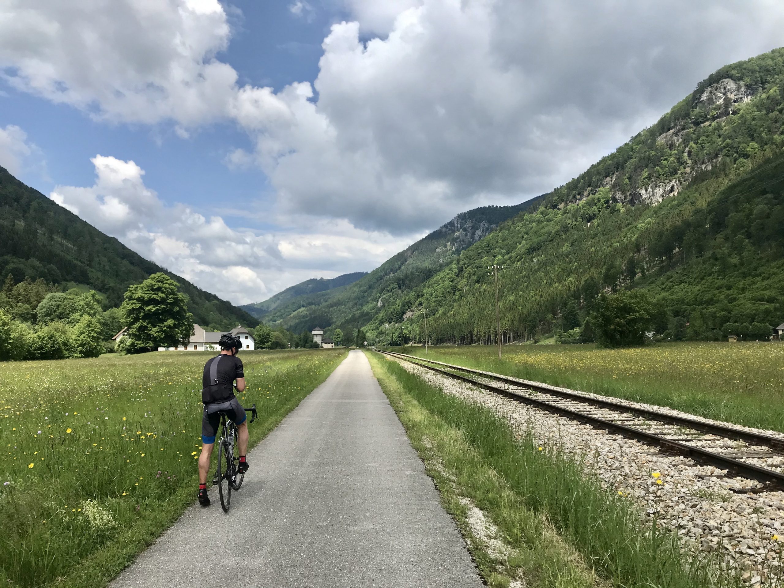
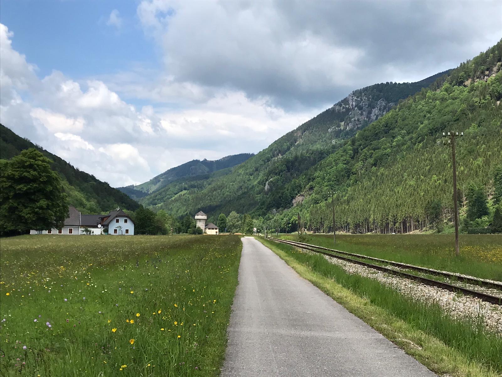
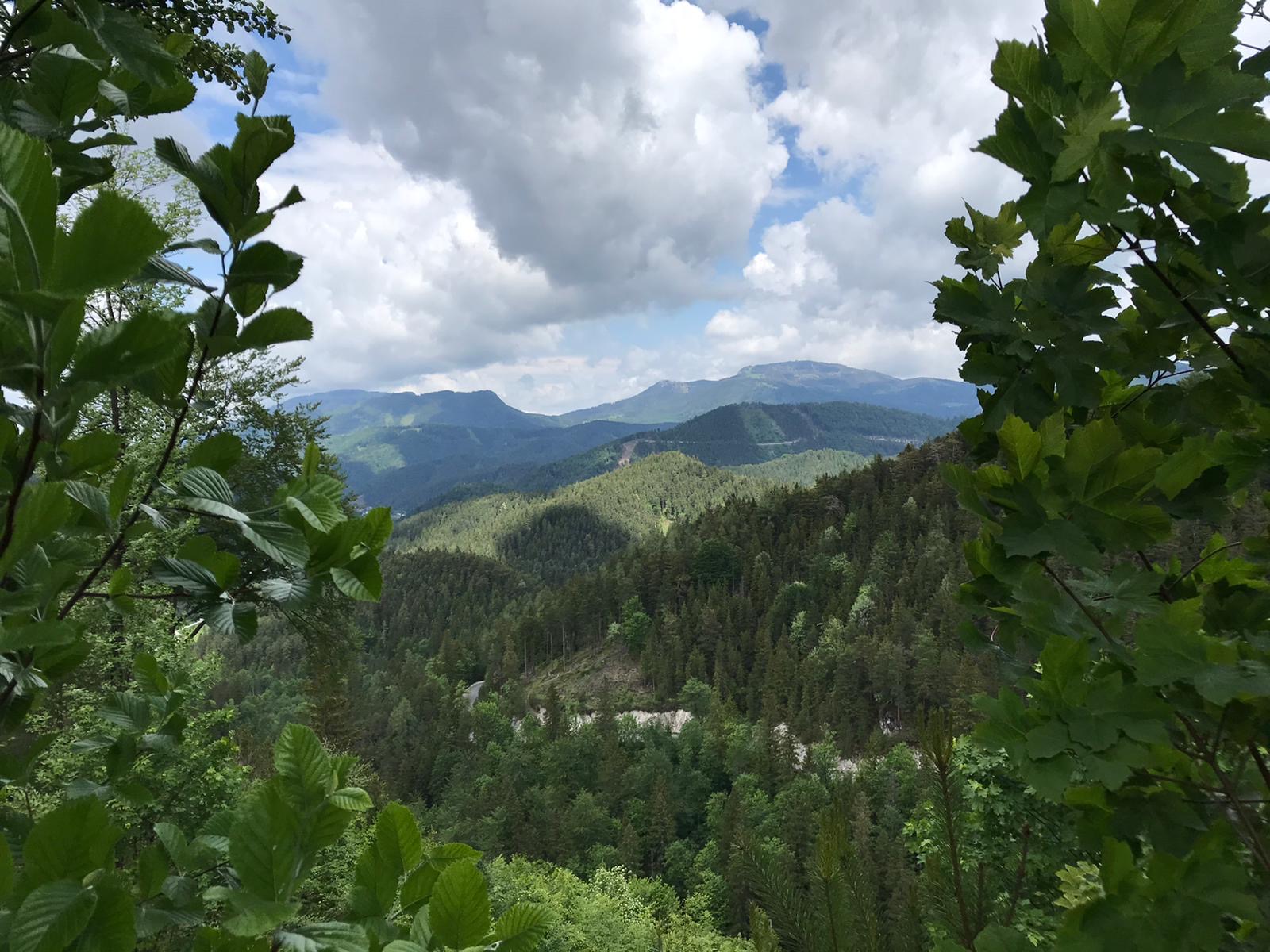
Ready for an adventure? Follow the road in direction of the Rax-Seilbahn (Cable Car). The path winds through narrow valleys with impressive views. At kilometer 30 we turn left towards Kalte Kuchl, where we take our first break (see culinary tip below). We continue our journey mostly uphill towards Maria Zell (over the Ochsattel) being rewarded by breathtakingly beautiful views. Finally, we turn right towards Traisen from which point on it is mostly downhill. Here you have the choice to stay on the road or get on a bike path which winds down through the valley. Be careful at kilometer 66: Here we turn right towards Hainfeld to reach the climb toward Klammhöhe which is easy to achieve from this direction. You will face another two short climbs before and after St. Corona am Schöpfl which will prove more challenging. Upon reaching the top a relaxing downhill ride towards Klausen-Leopoldsdorf awaits. The last climb of the day may be quite long at about 6km however the 2-3% incline is low enough to be barely noticeable. Just the final kilometer is steep and more challenging.
Enjoy the final 30km downhill through Pressbaum and Purkersdorf, finally reaching Vienna. You did it!
We love this route because it leads through nature from beginning to end and offers especially beautiful views.

![]() CULINARY TIP
CULINARY TIP
The Topfenstrudel at Kalte Kuchl (https://www.kaltekuchl.at/) is a MUST! It is delicious and will give you the energy needed for the upcoming kilometers.
![]()
CULINARY TIP
The Topfenstrudel at Kalte Kuchl (https://www.kaltekuchl.at/) is a MUST! It is delicious and will give you the energy needed for the upcoming kilometers.


Long Riverside Warmup for the Serpentine Dream
![]() 68 km
68 km ![]() 2h 40min
2h 40min ![]() 325 hm
325 hm ![]() 9,1% max. gradient
9,1% max. gradient ![]() 414 m highest point
414 m highest point
Due to the large variety of landscapes this is one of our favorite routes. The first half is still flat but after that it gets right down to business. But let us start from the beginning.
We leave our studio on Mariahilfer Straße and take the Ringstrasse to the bike path along the Donaukanal all the way to Donauinsel towards Korneuburg. The road surface here is nice and smooth inviting us to sprint (given there are not too many pedestrians, runners, or skaters around). Eventually we cross the Danube at Greifenstein powder plant and take the bike path on the opposite riverbank. Here we pass by the Water Ski School Wördern which houses a small but quite lovely restaurant.
Full steam ahead to Muckendorf, where we turn left toward Königstetten. Here begins the first (and only) climb of the day. It is 6km long altogether but will seem shorter due to the breathtaking views and impressive serpentines. Once we reach Hainbuch we head for a long downhill section through Mauerbach and Hadersdorf finally reaching the Wienfluss bike path. We are back in the city!

![]() CULINARY TIP
CULINARY TIP
Restaurant Wasserschischule Wördern (https://www.facebook.com/Wasserschischule/) does not look too special but offers good local food for reasonable prices as well as a great view of the Danube.
![]()
CULINARY TIP
Restaurant Wasserschischule Wördern (https://www.facebook.com/Wasserschischule/) does not look too special but offers good local food for reasonable prices as well as a great view of the Danube.

Shut up legs! Kitzbühler Horn
![]() 10,1 km
10,1 km ![]() 1h 20min
1h 20min ![]() 1246 hm
1246 hm ![]() 26% max. gradient
26% max. gradient ![]() 1980 m highest point
1980 m highest point
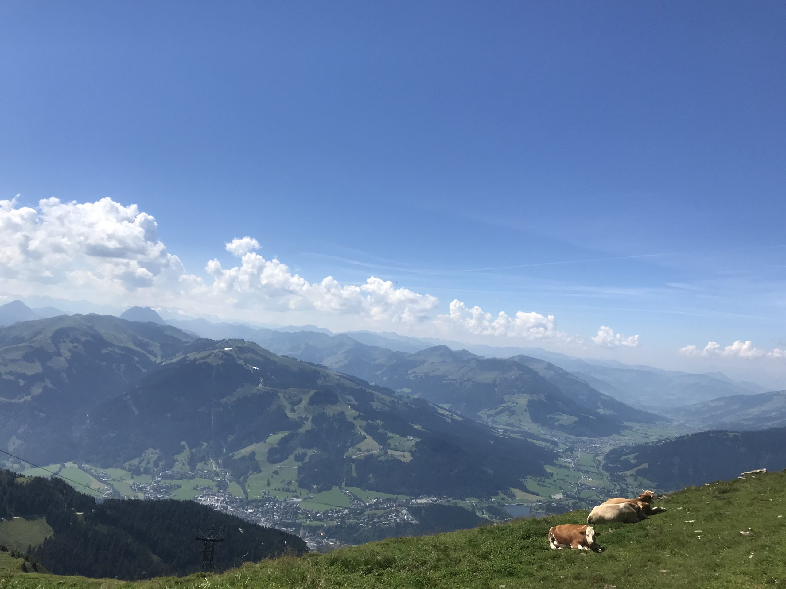
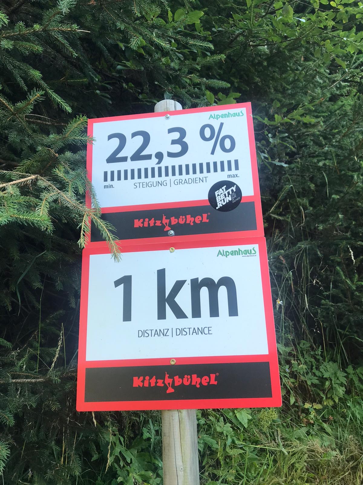
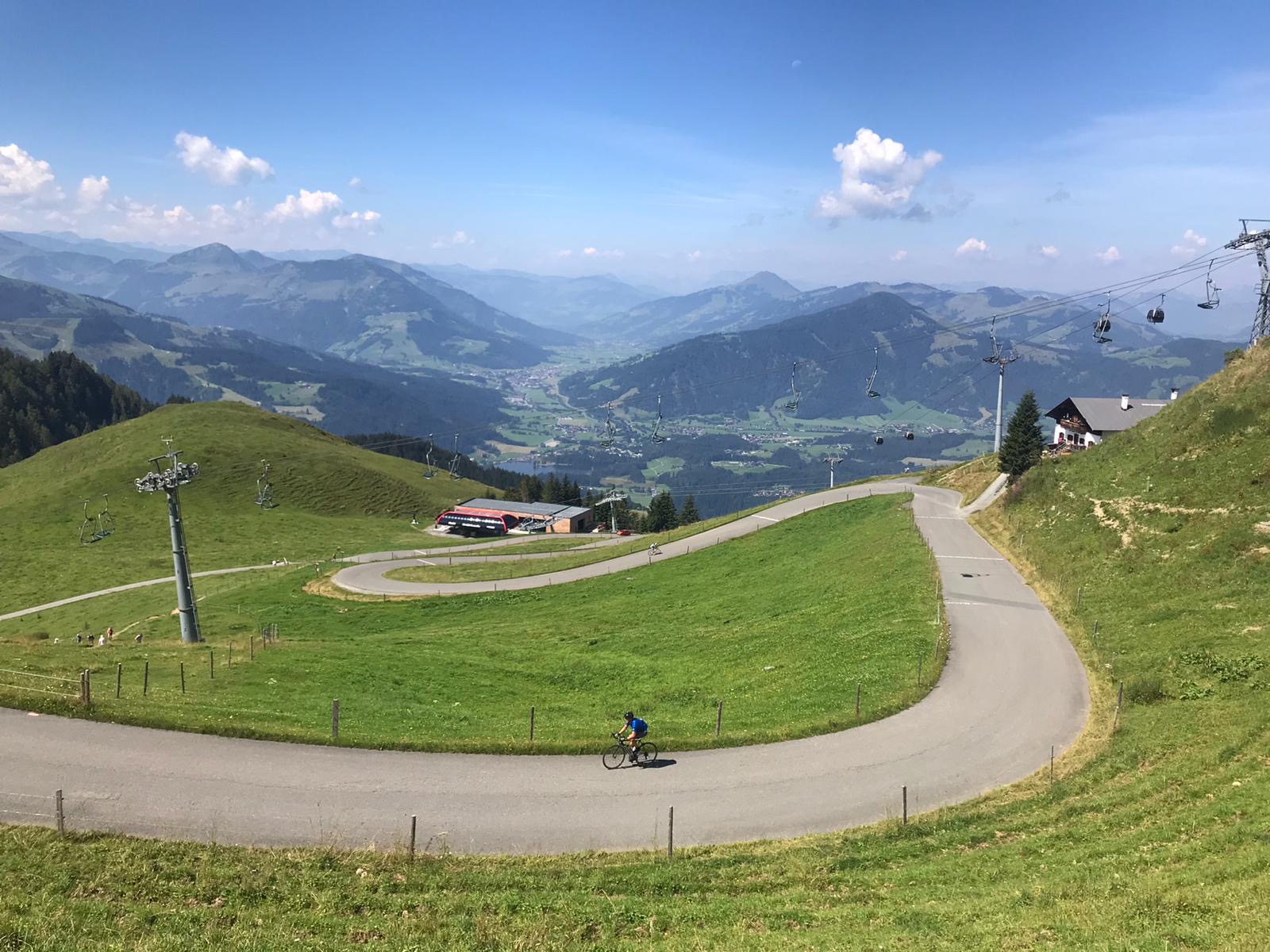
The Horn is the legend among the Austrian climbs and not without a reason. With an average of almost 13% gradient the Horn is one of the steepest mountains the republic has to offer. Additionally, you will not find any shade on the climbs, so be prepared for an epic battle against heat and hill in the summertime.
The beginning of the ascent is easy to find from direction Kitzbühel, marked by road signs. Coming from Oberndorf you have to trust your orientation, but the spectacular Horn is always visible, so you know where to go. At the start you’ll find a list with the best times and another sign “steepest cycling mountain of Austria”. If you want you can start the timing function, but it works just until km 7, the Alpenhaus.
Already the first km is tough and until the top you’ll never get a chance to recover, not even a bit – except of maybe a hundred flat meters at the toll station. The climb knows no mercy. At km 6 there’s a passage with 22,6 percent but the real party just starts after the Alpenhaus, where the Pros normally finish their race. But we must suffer for another 3,1 km to reach the top. But these final km of the Horn offer the best you can get if you love the climbs. Great views in every direction, passages with a gradient over 25% (so choose your cassette wisely) and a cold Radler waiting for you at the top in the Gipfelhaus.

![]() CULINARY TIP
CULINARY TIP
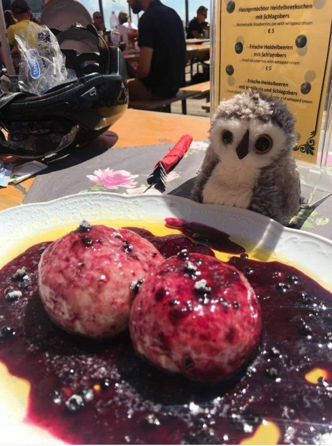
At the top, you can enjoy a Radler (and in the summer season – many delicious specialties made out of blueberries) in Restaurant Gipfelhaus.
Enjoy yourself and the nice view!
![]()
CULINARY TIP
At the top, you can enjoy a Radler (and in the summer season – many delicious specialties made out of blueberries) in Restaurant Gipfelhaus.
Enjoy yourself and the nice view!


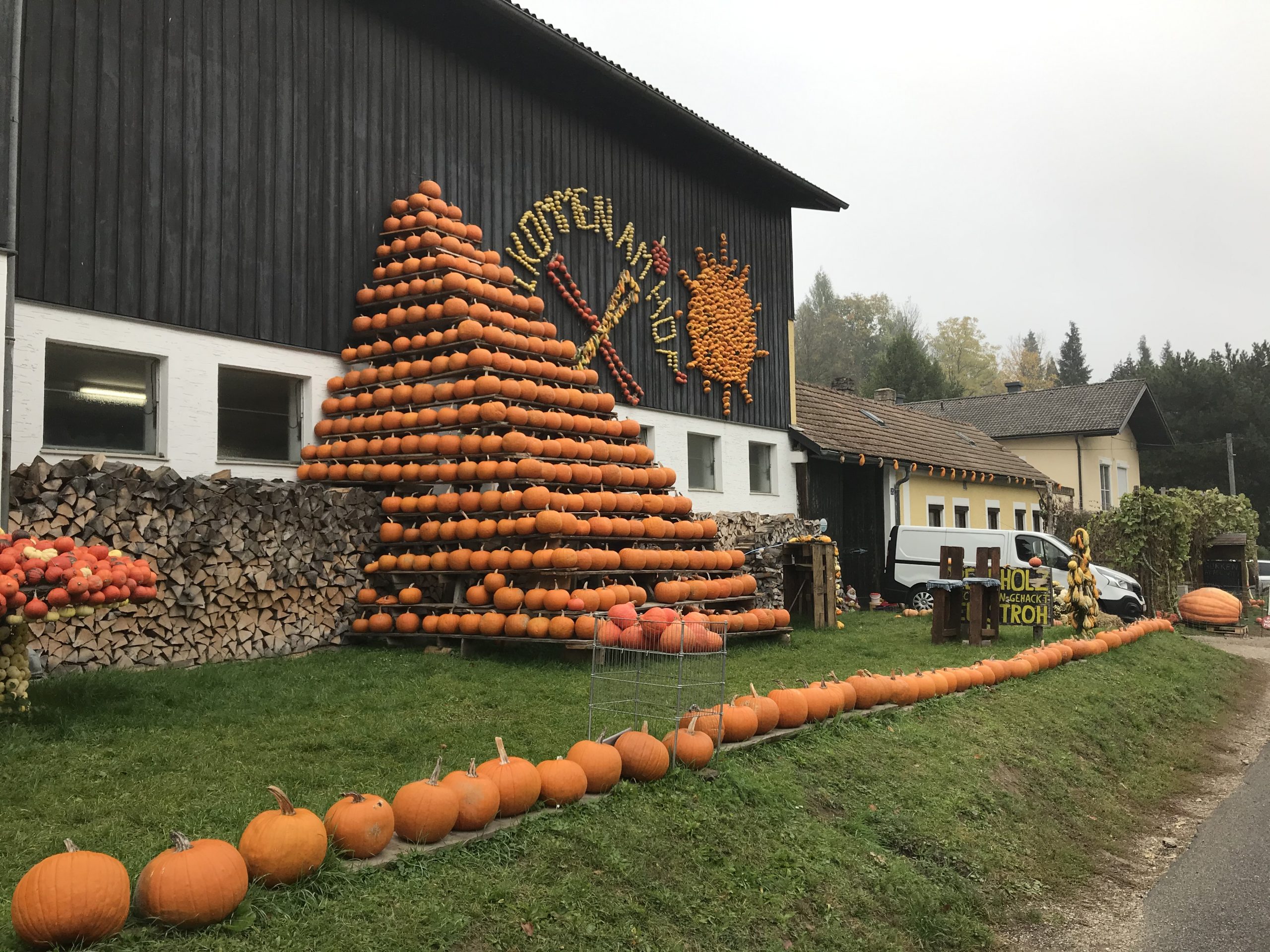
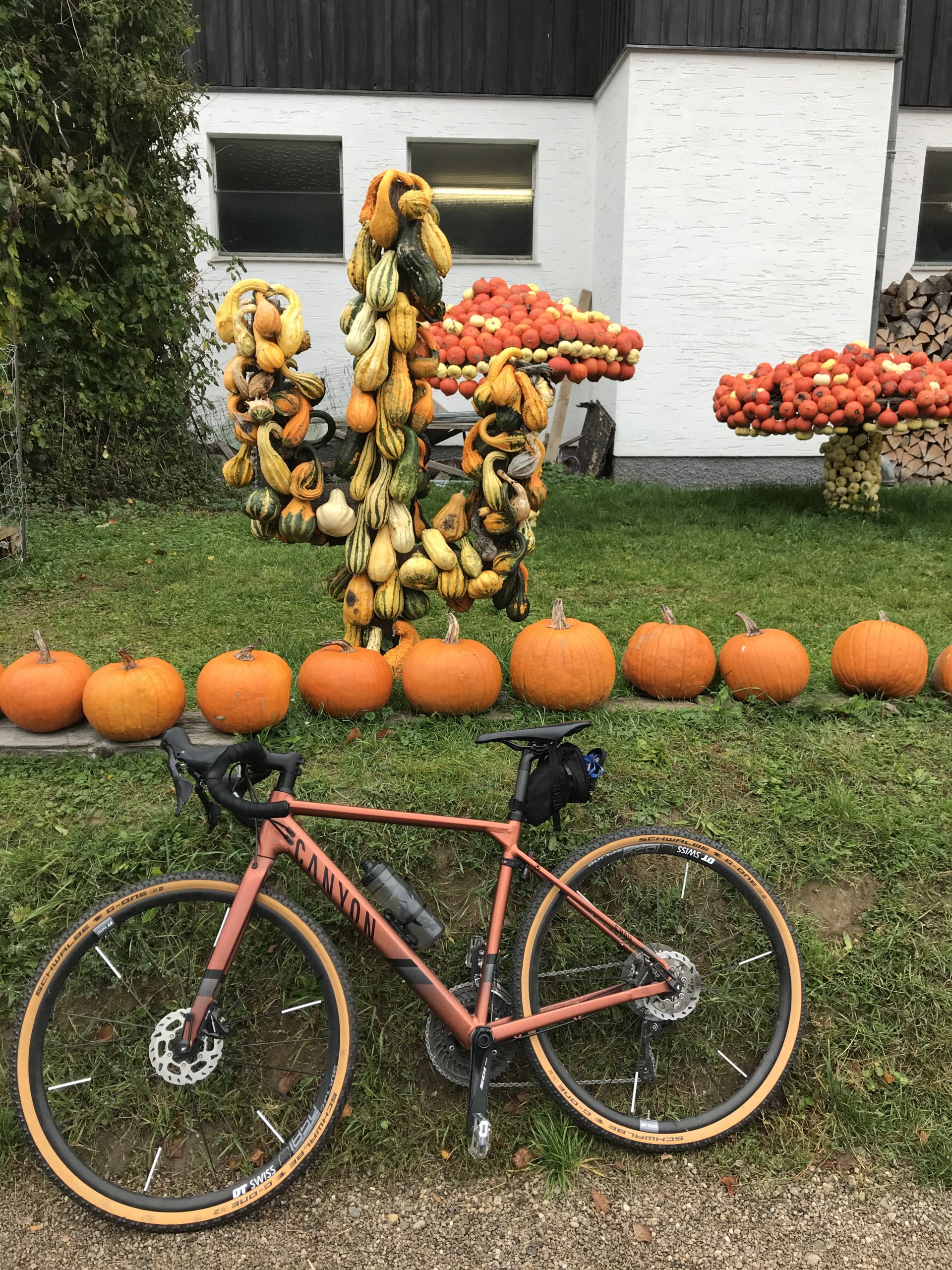
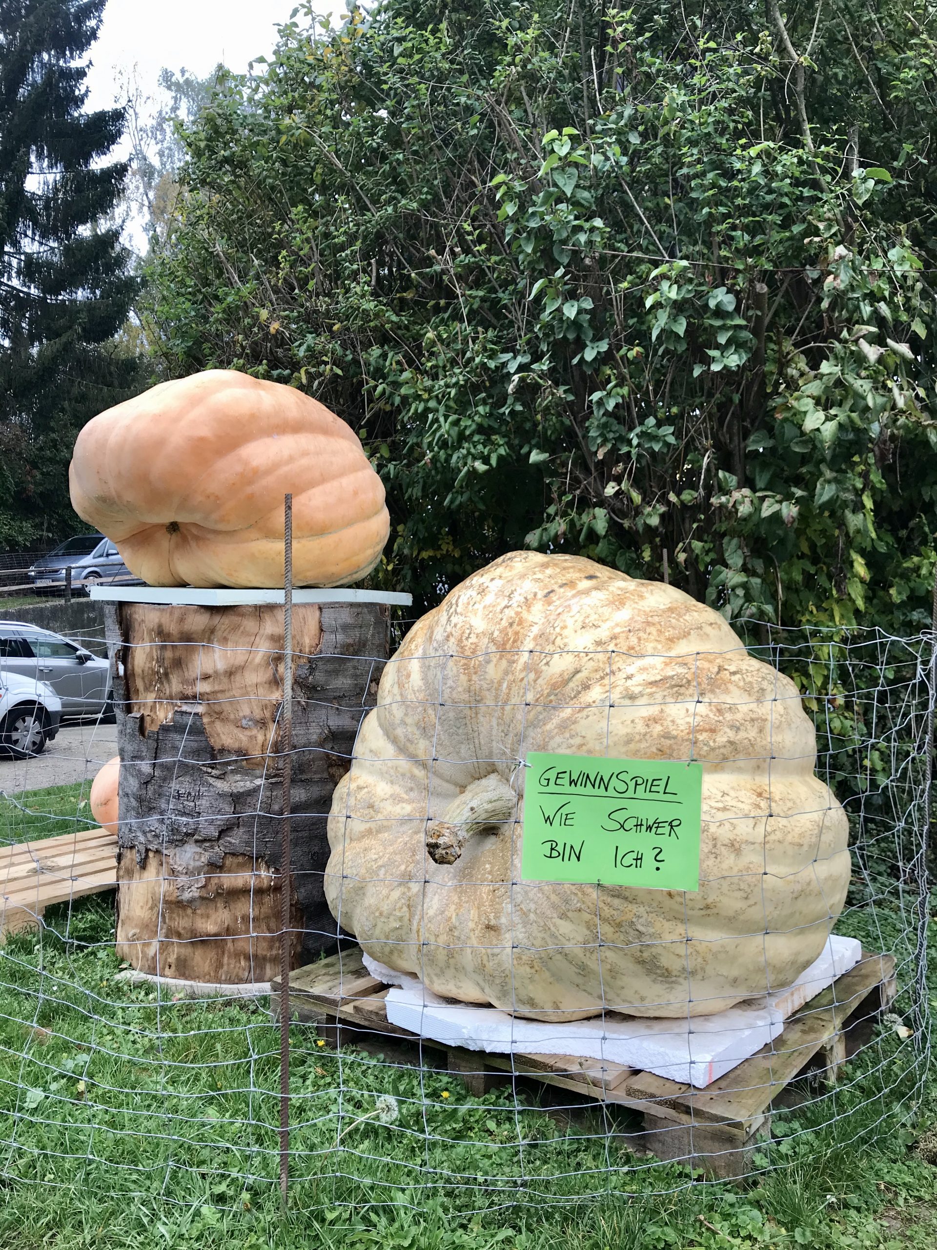
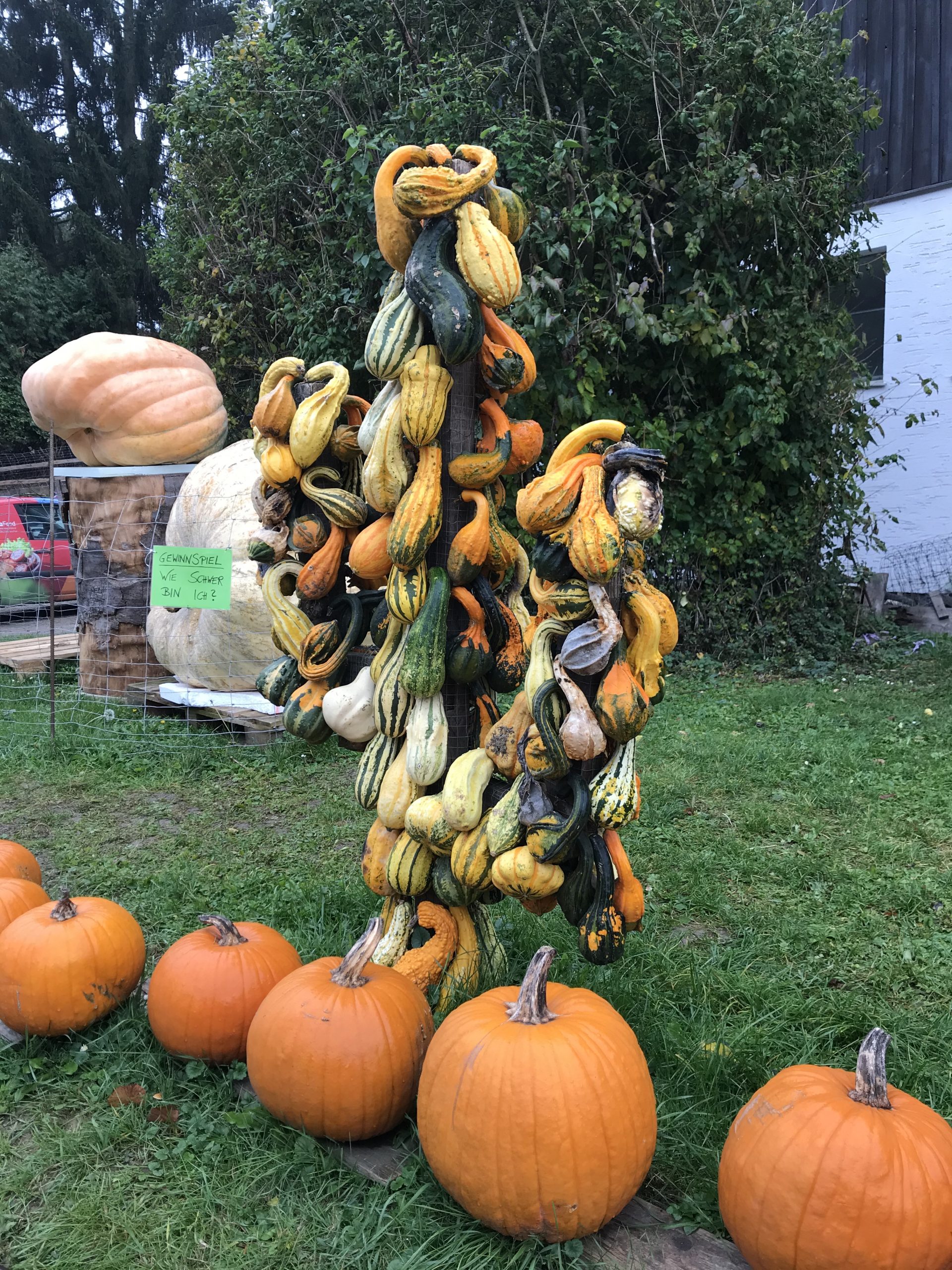
Pumpkin Lap
![]() 51,5 km
51,5 km ![]() 2h 5 min
2h 5 min ![]() 408 hm
408 hm ![]() 11,5% max. gradient
11,5% max. gradient ![]() 415 m highest point
415 m highest point
This is a perfect lap for autumn due to the beautiful views of the colorful Wienerwald. Additionally, the lap is not very long so it’s even possible to do it on a chilly autumn day.
As usual we start the trip in the center of Vienna and reach the Donaukanal via Ringradweg. We follow the river north-west towards Klosterneuburg. Once you reach the city, leave the bike path after the Happy Land (Sports center), turn left and go under the bridge. Follow the Main Street towards Kierling and Gugging. From here on, it’s always slightly uphill. After passing through Kierling, shortly before the roundabout, there is the magic turn towards Hintersdorf which you have to take.
After 2.5km of easy climbing, you’ll see on the right side the greatest Pumping Exhibition of the whole Wienerwald! If you have space in your pockets, you can try to take one (or one of many fruits and vegetables that are offered). But make sure the load is not too heavy because there are still some vertical meters ahead of you.
At the end of Hintersdorf, take the first turn to the right (direction Kirchbach). It’s going to be some ups and downs but you can stay on the Main Street all the time until you reach the next cross road. Here you go direction Mauerbach. It’s the final vertical meters before the long downhill towards Mauerbach, starting at Hainbuch.
When you reach the bottom of the climb, it’s just a few flat kilometers to the city center to complete the lap.

![]() CULINARY TIP
CULINARY TIP
If you have time or feel a bit tired before the downhill towards Mauerbach, there’s a great restaurant called Waldschenke. Perfect place for a coffee or even some of the local Austrian dishes.
![]()
CULINARY TIP
If you have time or feel a bit tired before the downhill towards Mauerbach, there’s a great restaurant called Waldschenke. Perfect place for a coffee or even some of the local Austrian dishes.


Through Irenental, the gentle side of Wienerwald
![]() 68,2 km
68,2 km ![]() 2h 45 min
2h 45 min ![]() 561 hm
561 hm ![]() 9,1% max. gradient
9,1% max. gradient ![]() 412 m highest point
412 m highest point
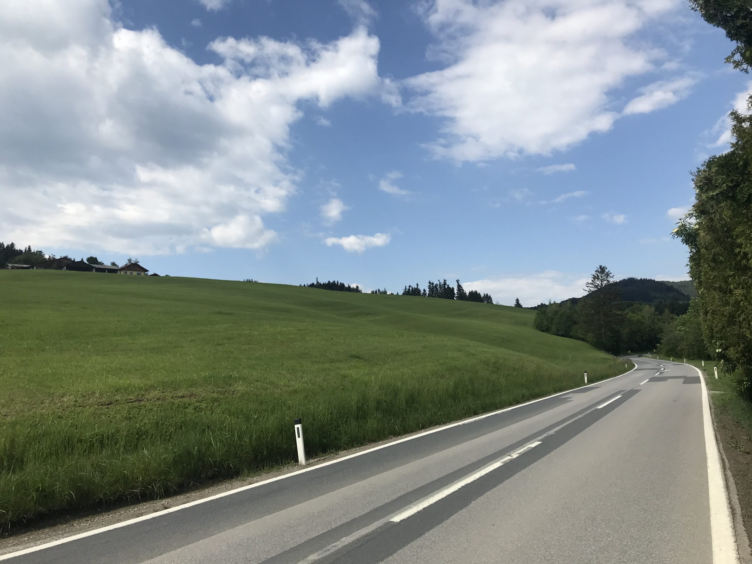
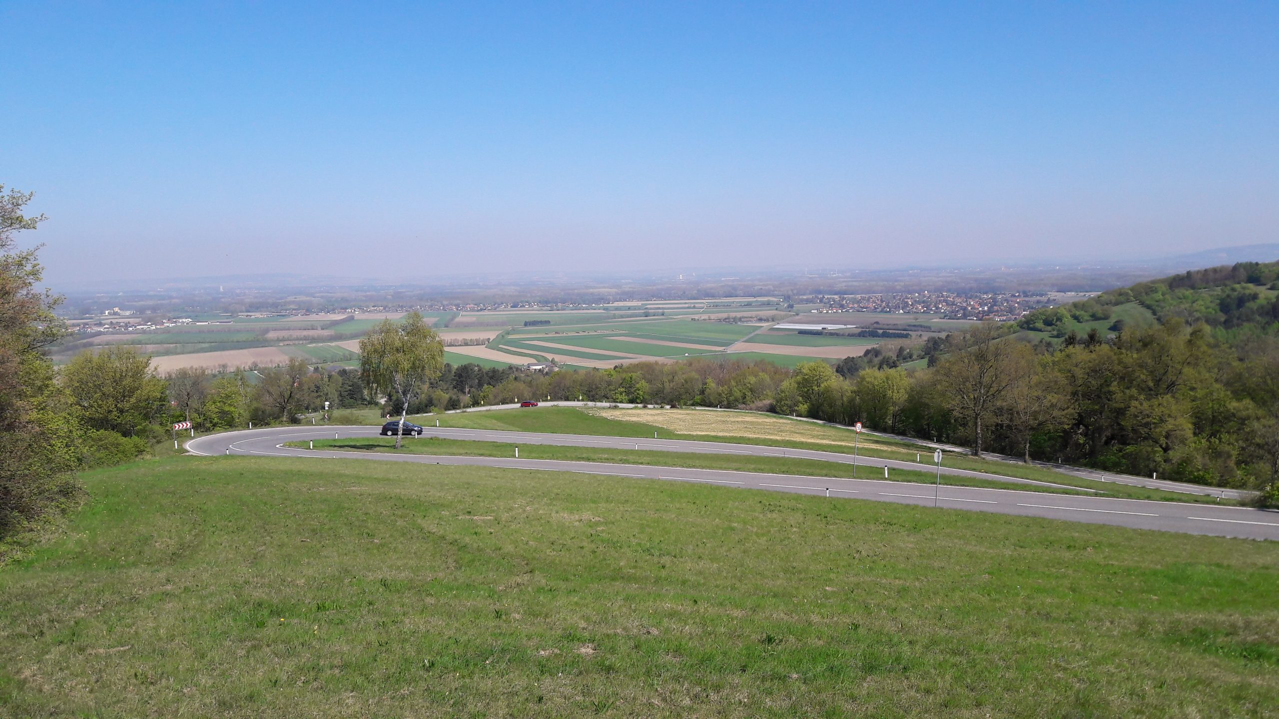
In good old tradition, we start our ride in front of the MH76 studio, right in the center off Vienna. But the route is easily accessible from different districts. Since we are heading west, the Wiental cycling path is a good option to escape the urban environment. At km 11 we switch back to the road and pass through Purkersdorf. At km 15 we turn left direction Pressbaum, and after another 5km we reach a crossing and turn right towards Irenental. The road is slightly rising and leads us through a beautiful and gentle part of the Wienerwald. The road has to offer great views, pure nature and hardly any cars. The gradient stays below the 5% mark, and finally we start a fast decent towards Sieghartskirchen. There we turn right on the B1, direction Vienna. After some smooth ups and downs the longest climb of the day starts. Five long switchbacks lead the way up to Riederberg. At the top you get a great view of the hilly landscape. After a short downhill, right before Gablitz, we turn left towards Mauerbach. This short ascend is by far the most challenging part of today´s track, with up to 9% gradient.
But this is the final effort. From here on it’s just downhill to the city, so take it easy. Back on Mariahilferstraße we managed 561 vertical meters, without any big effort. Not bad.


Cycling at its best: To St. Pölten via Pernitz
![]() 160 km
160 km ![]() 7h 0 min
7h 0 min ![]() 1758 hm
1758 hm ![]() 11,4% max. gradient
11,4% max. gradient ![]() 767 m highest point
767 m highest point
Without exaggeration, this is one of the most beautiful cycling trips we did in the past years. But you have to reserve some time, because more than 160km with 1758 vertical meters is more than the usual Sunday afternoon ride and needs stamina and preparation.
So take your time and make sure that you are going to have nice weather and the fun is going to be endless.
We start in downtown Vienna, following the Wiental Cycling path. We leave the city through Purkersdorf and head on direction Pressbaum. At the Wienerwald lake we turn left and right after Wolfgraben the first climb of the day is waiting for us: the “Kleine Semmering”, with up to 9,5% a perfect warmup for what´s going to follow. Up and down on hilly roads, over Hochroterd (with a quick look at the Alpakas), Gruberau, Klausen-Leopoldsdorf. The forest seems to be endless. We follow the river “Schwechat” to Alland and up the next climb. After a welcome downhill ride we reach the Triestingtal. To Berndorf you can choose between the main street and the cycling path (mostly tarmac). At Berndorf we turn right and follow a small street towards Pernitz. Before the rather challenging climb to the Waxeneck, there´s the option to get food and drink in a very small “Heuriger”, actually the only possibility in that region. Pernitz of course has some restaurants to offer, but not as charming as this one.
After Pernitz we follow the main road to Gutenstein and turn on a small side street, which leads us through a beautiful valley and up a great climb, Haselrast, with spectacular views. After a technical downhill we get to Rohr im Gebirge.
In case your energy levels are low, we are close to “Kalte Kuchl” with the famous cheesecake. And from here on it´s just downhill through St.Veit/Gölsen and Traisen to St.Pölten.
Don´t forget to reserve a place for your bike in the train, because sometimes there are none available anymore and you would have to make another 70km on your bike back to Vienna 😉

![]() CULINARY TIP
CULINARY TIP
Right before the climb to Waxeneck you’ll find on the left side a well-hidden “Heuriger” with local food and drinks and you might hear some interesting stories there.
![]()
CULINARY TIP
Right before the climb to Waxeneck you’ll find on the left side a well-hidden “Heuriger” with local food and drinks and you might hear some interesting stories there.